
West Ajijic / Sierra de San Juan Cosalá
Rancho Del Oro to Cliff Faces
Out-and-back route. Metrics are calculated from the updated GPX.
The route · GPX metrics
- Distance
- 4.21 km2.62 mi
- Elevation gain
- 426 m1,399 ft
- Elevation loss
- 426 m1,399 ft
- GPX duration
- 1h 51m
- Max elevation
- 1,928 m6,324 ft
- Min elevation
- 1,578 m5,176 ft
Out & back · Wikiloc difficulty: Easy
Trail notes.
Last updated
A fun, little-hiked route in west Ajijic. Even without reaching the summit ridge, this is a beautiful, mildly strenuous day hike.
01 / Parking
Parking on Río Nazas
Look for street parking on Río Nazas, taking care not to block traffic or access. In 2026, I saw people parking on a grassy patch beside a red brick wall on the right side of the upper part of the street. That space may no longer be available by the time you read this.
02 / Finding the trailhead
Finding the trailhead
Walk uphill along the road as it curves left. At the fork, keep left rather than taking the right-hand road toward De la Montaña. Continue to the end of the road, where a clear trail branches off to the left. This leads to a junction connecting several trails in the area.
Along the route
Follow the GPX track and Wikiloc map for navigation. This is also a popular mountain biking route, though the trail itself is not diminished.
The climb eventually reaches a long stone wall on the left, then bends sharply right into a small clearing with views of the mountains and lake. This ends the mountain bike route. Continue to the north. Farther along, a faint spur leads down into the arroyo and up the opposite side, eventually reaching a fork with routes east toward the Ceremonial Grounds and south back to Río Nazas. This route is often overgrown and little-used.
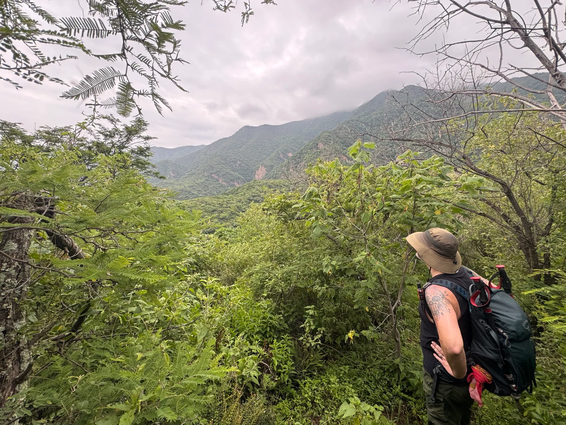
Stay on the main trail for this hike. It becomes steeper and rockier but remains easy to follow, with the long stone wall continuing on your left. After several overlooks with views of an imposing cliff face, the trail reaches the cliff itself and disappears.
The terrain here looks dangerous. Although it seems possible that a route might continue to the summit ridge, I couldn’t find one. As of 2026, my online searches haven’t turned up a documented continuation either.