
West Ajijic / Sierra de San Juan Cosalá
Río Nazas to Rancho del Oro / Río Chamela Long Loop
Approximate metrics from the supplied GPX. Elevation totals include track fluctuations; no duration was recorded.
The route · GPX metrics
- Distance
- 3.77 km2.34 mi
- Elevation gain
- 653 m2,143 ft
- Elevation loss
- 653 m2,143 ft
- Max elevation
- 1,884 m6,181 ft
- Min elevation
- 1,584 m5,196 ft
Loop · Steep, overgrown sections
Trail notes.
Last updated
A fun day hike in west Ajijic that climbs the Río Nazas ridge, drops into the western arroyo, then climbs onto the Rancho del Oro/Río Chamela ridge before following a clear path back down. Parts of the route are popular with mountain bikers, but they’re just as enjoyable on foot.
01 / Parking
Parking on Río Nazas
Look for street parking near the top of Río Nazas, taking care not to block traffic or access. In 2026, I saw people parking on a grassy patch beside a red brick wall on the right side of the upper part of the street. That space may no longer be available by the time you read this.
02 / Finding the trailhead
Finding the trailhead
Walk uphill along the road as it curves left. At the fork, keep left rather than taking the right-hand road toward De la Montaña. Continue to the end of the road, where a clear trail branches off to the left and leads to a junction connecting several trails.
Along the route
Follow the GPX track and Wikiloc map from here. The route heads east before making a sharp left to climb the Río Nazas ridge.
About halfway up, you’ll reach a small high point I call “Little Elizabeth Hill” (Cerro Pequeño Elizabeth). I haven’t found a name for it on the maps I’ve checked, so that’s what I’m calling it for now. From here, there are good views of the summit ridge, the arroyo you’ll soon descend into, and the neighboring ridge you’ll climb afterward.
After a short, easy stretch, you’ll reach another trail junction. A route to the east leads toward the Ceremonial Grounds, though it can become so overgrown during the rainy season that it’s largely impassable. Another rough, sometimes steep, and seldom-used trail climbs all the way to the summit ridge.
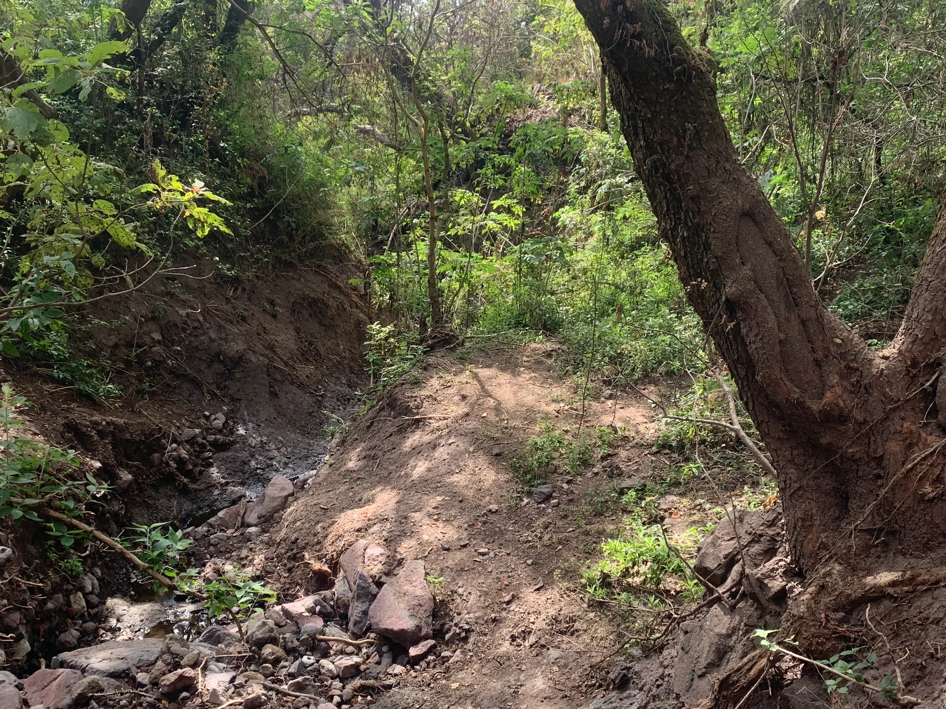
For this hike, follow the GPX track down the steep trail into the western arroyo. During the rainy season, weeds can crowd the path, though it remains passable with care. In places, the trail narrows beside deep ravines whose edges may be hidden by vegetation.
Pay particular attention near the washout and waterfall drop, roughly 6–9 meters (20–30 feet) high. The trail skirts the top, and rainy-season growth can obscure the edge. A fall here could be disastrous, so take your time and watch your footing.
From the arroyo, climb the opposite side to the Rancho del Oro/Río Chamela ridge. At the fork, the northern trail leads to—and ends at—an impressive cliff face. That’s worth a separate walk. For this route, take the southeastern trail and descend alongside the old stone wall. This section is clear and also used by mountain bikers.
On the descent, you’ll encounter at least two forks with alternative spurs that rejoin the main trail farther down. These spurs are rough and often overgrown, with loose dirt and sections beside a deep ravine. If you choose to explore them, do so at your own risk.
Continue downhill to Río Nazas, finishing where you began.