
West Ajijic / Sierra de San Juan Cosalá
Río Nazas to Rancho del Oro/Río Chamela (Short Loop)
Approximate metrics from the supplied GPX. Elevation totals include track fluctuations; no duration was recorded.
The route · GPX metrics
- Distance
- 1.33 km0.83 mi
- Elevation gain
- 268 m879 ft
- Elevation loss
- 268 m880 ft
- Max elevation
- 1,704 m5,591 ft
- Min elevation
- 1,587 m5,207 ft
Loop · Arroyo and ridge
Trail notes.
Last updated
A short, slightly unusual but pleasant loop in west Ajijic. The route starts at Río Nazas, follows the arroyo for a short stretch, then climbs the Rancho del Oro/Río Chamela ridge before descending on a clear trail and returning to the start.
01 / Parking
Parking on Río Nazas
Look for street parking near the top of Río Nazas, taking care not to block traffic or access. In 2026, I saw people parking on a grassy patch beside a red brick wall on the right side of the upper part of the street. That space may no longer be available by the time you read this.
02 / Finding the trailhead
Finding the trailhead
Walk uphill along the road as it curves left. At the fork, keep left rather than taking the right-hand road toward De la Montaña. Continue to the end of the road, where a clear trail branches off to the left.
Along the route
Shortly after the trailhead, you’ll reach a junction connecting several trails. Follow the GPX track and Wikiloc map to take the route that gradually descends into the arroyo. During the rainy season, the vegetation can get thick, but I’ve generally found the path easy enough to follow.
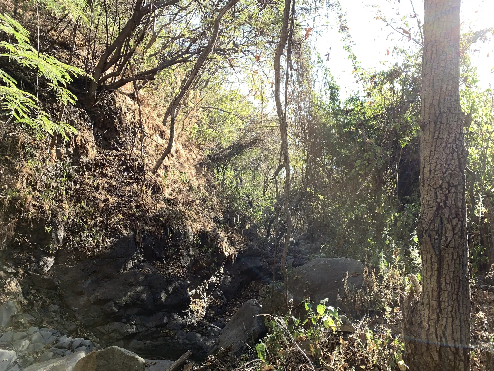
Once in the arroyo, the route follows it for a short distance, climbing briefly over a rocky section before picking up a trail on the western side. From here, climb toward the Rancho del Oro/Río Chamela ridge.
Near the top, you’ll pass a dilapidated shack tucked into the trees beside the trail. I’ve never seen anyone there or noticed signs of recent use, but I always call out, “¡Hola! ¡Solo voy de paso!”—“Hello! Just passing through!” I’d rather announce myself than startle someone or appear to be intruding on their space.
At the ridgeline, you’ll meet a clear trail that’s also used by mountain bikers. Follow it downhill, watching the GPX for the sharp left turn that takes you back toward your starting point on Río Nazas.